ESM 263 Geographic Information Systems
Basemaps for QGIS
CONTENTS
Having basemaps in the background of your maps is often helpful for orientation. A nice basemap may also make your map more visually appealing. Here are a few more sources of basemaps you can use in QGIS.
XYZ Tiles
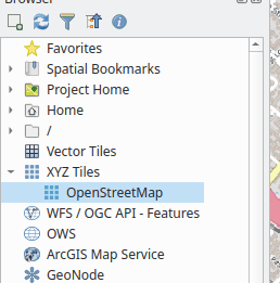
We’ve already encountered OpenStreetMap, which comes built-in to the QGIS Browser as an XYZ Tiles layer:
This stackexchange post (“No plugin required”) is a handy guide to adding some popular web map services to QGIS as XYZ Tiles, so you can use them as basemaps.
MapTiler
The company MapTiler provides a set of basemaps which can readily be used in QGIS. All you need to do is:
-
Register with MapTiler
- Install the QGIS MapTiler plugin
- Go to Plugins→Manage and Install Plugins
- Search for MapTiler
- Click Install Plugin
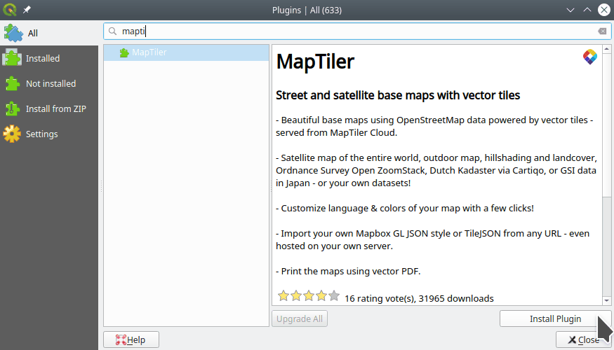
You can now find MapTiler layers in your QGIS Browser panel.
- The first time you use it, the plugin will ask for your account key in a popup. Copy your personal key from the MapTiler website to your plugin.
- On your MapTiler account, go to Account→Keys
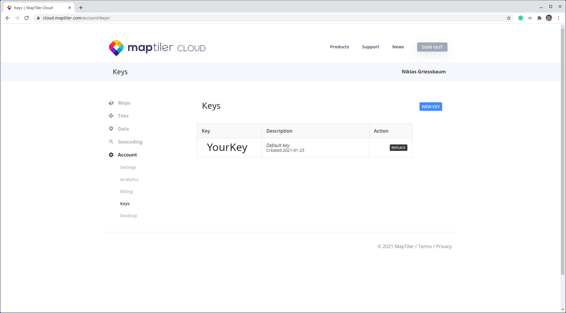
- Copy the key and paste it into the QGIS MapTiler plugin popup.
- On your MapTiler account, go to Account→Keys
QuickMapServices
Another source of basemaps is the QuickMapServices plugin. You can install it at Plugins→Manage and Install Plugins. The plugin can then be accessed at Web→QuickMapServices.
You can get even more maps from QuickMapServices by adding the Contribute Pack. Go to Web→QuickMapServices→Settings→More services and click Get contributed pack. (Not all of these services work…)